
Degraded Dogs
They didn’t ask to be dressed up like this…
Posted on Flickr 9:53 am, June 24, 2007


Google had a lot of people and a big float in the parade.
Posted on Flickr 9:18 am, June 24, 2007


Cause that’s the only place that people Hella do things.
Posted on Flickr 8:53 am, June 24, 2007


Squid 3.0 Configuration Manual – Contents
Detailed reference manual on all the Squid configuration directives.
Brief intro to get started with Squid using some really basic settings.
Details on the Apache module for running as a proxy/cache.
A page that allows you to generate pages with defined expiry/last modified headers to test a caching configuration.
Wiki-based guide to using and managing Squid (the proxy/caching system).
Constantly updated list of AJAX examples and implementations.
Ricardo Galli, de software libre » WP-Cache 2.0
The definitive caching plugin for WordPress. Stores static versions of pages to speed up response times.
80+ AJAX-Solutions For Professional Coding | Smashing Magazine
Awesome collection of all sorts of pre-built solutions using AJAX for common web development problems.
Advanced use of Google Analytics and the new interface
Some very cool information on how to squeeze more information out of GA and use it as a more generalized web stats framework.
Awesome list of ways to use SED to do cool stuff.

BlackJack is a renegade surgeon who saves rich people who are dying where all hope is lost, then charges them heavily for the privilege. Strange.
Posted on Flickr 12:23 pm, June 16, 2007


This was part of a private collection shown at the museum.
Posted on Flickr 11:39 am, June 16, 2007


DNS Oversimplified: How to check your DNS
Nice simple explanations of DNS.
PHP class to handle sending network Growl notifications using PHP
The Ultimate RSS Toolbox – 120+ RSS Resources
Mashable compilation of all sorts of cool tools related to RSS/feeds.
Incredibly addictive online game. You place towers on your desk, and then lines of “creeps” try to run past them. If your towers are well-placed, they’ll shoot the creeps down. If not, they get across and you lose.
developerWorks : Web development : Technical library view
Awesome collection of developer-oriented articles from IBM developerWorks specifically about web development. All sorts of good AJAX, PHP, MySQL etc etc articles.
Practical PHP Programming Wiki
Interesting wiki with all sorts of guides and tips on PHP programming from really basic to quite advanced.
Multi-threading strategies in PHP » Implicit Evaluation with PHP
Another approach to multi-threading in PHP. This includes a class (PHP4-style) to abstract most of the operations out.
How To Set Up Database Replication In MySQL | HowtoForge – Linux Howtos and Tutorials
Good copy-paste style howto on setting up replication for MySQL.
Cocoatron :: Automator Actions for XML Processing Pipelines
Awesome set of actions for Automator on a Mac to handle batch processing of XML files including application of XSL transformations, validation etc etc.
Thorough look at PHP’s pcntl_fork() | van-steenbeek.net
Multi-threading (forking) in PHP and how to make it happen. Complicated, but could work for FeedBlendr.
hKit microformats parser for PHP5
Cool library for parsing and extracting microformats from pages using PHP5.
Pretty slick web-based feed reader that uses AJAX etc to speed things up. Lightweight interface, categories, tags, etc etc. Very nice.
Project to provide an open framework for collecting/reporting on web analytics/data.
The Subversion trunk to an interesting project named “HyperDB” which adds a DB layer giving more flexibility for query balancing and all sorts of nifty DB-stuff for WordPress (mu)
Getting DokuWiki to use WordPress Authentication (v1.2) [ thedeadone.net ]
Authentication plugin for DokuWiki that uses a WordPress DB’s users etc to log in.
Krumo: Version 2.0 of print_r(); and var_dump();
An enhanced output class for use with PHP. Gives nicer output than basic print_r or something similar.
My plugin for DokuWiki that allows you to quickly and easily create a simple blog using the wiki engine as the backend.
Locations where there should be a T-Mobile HotSpot in California

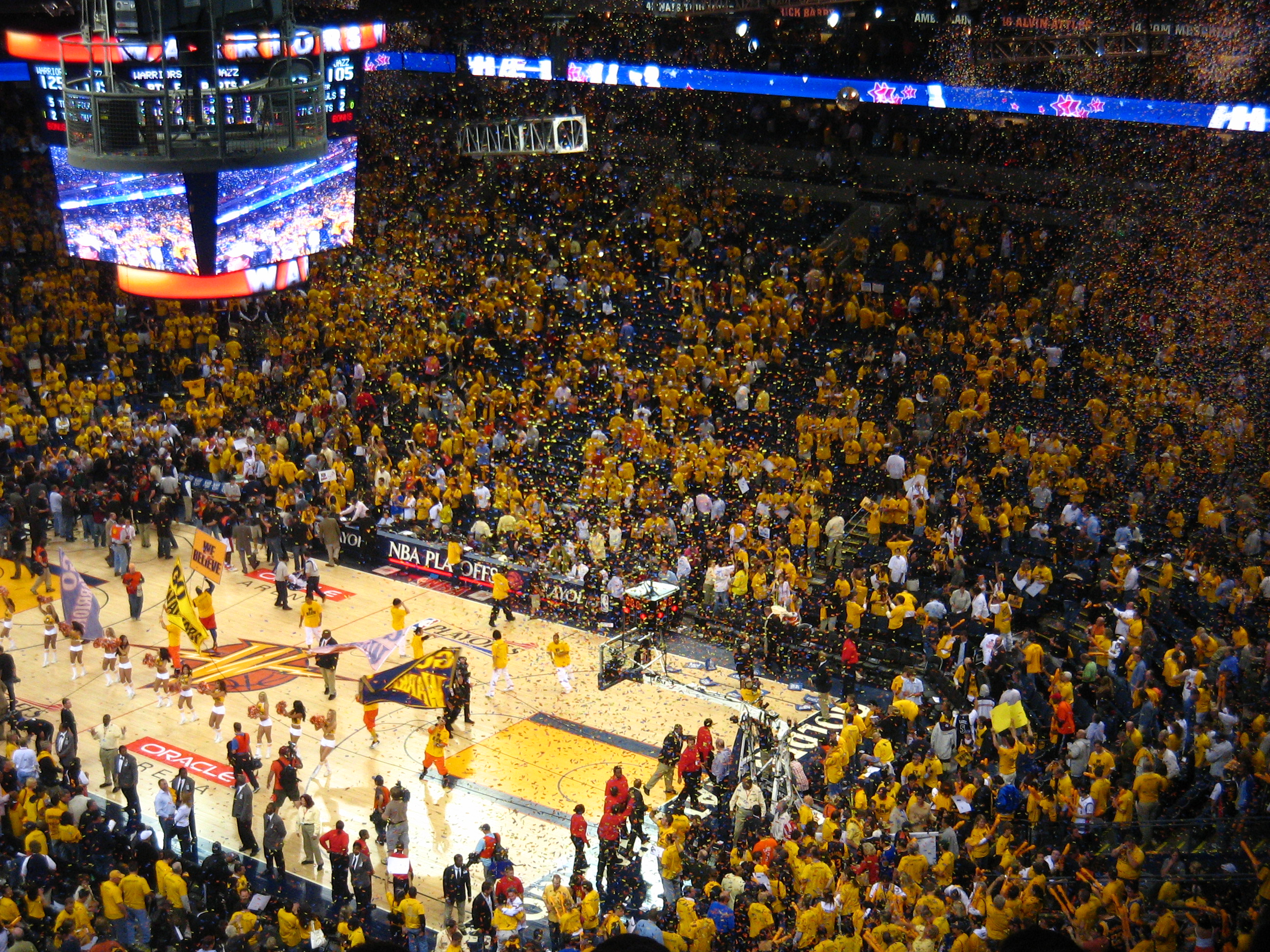
Even if a seat was empty, there was a yellow banner stuck on every chair in the stadium. So whether it was your shirt or the banner – everything was yellow.
Posted on Flickr 5:01 pm, May 11, 2007

Welcoming the Warriors to the court, bursts of fire and small fireworks!
Posted on Flickr 3:05 pm, May 11, 2007
How to monitor server load on GNU/Linux – Xaprb
This article introduces six methods and 12 tools for monitoring system load, performance and related information on GNU/Linux and similar systems.
The Tango Desktop Project exists to help create a consistent graphical user interface experience for free and Open Source software.
Learn how to slice your templates into fully standards compliant XHTML and CSS!
Good guide for designers etc to check out and learn about the process of converting a design into CSS/XHTML.
MS Office alternative for Mac. Based on OpenOffice, but “Apple-ized”.
Pretty detailed set of FAQs for Fedora.
Venture firm with CA office. Interested in related things.
gotomobile | The mobile usability and user experience blog
Blog about mobile technology, usability etc
Brad Feld, VC. Specifically interested in RSS and related tech. NewsGator is one of his big investments.
Jeff Clavier, SoftTech VC. Funding in the software market, with specific interests in social software, Web 2.0 startups and “consumer infrastructure” in that space.
Startup Camp is an unconference-style event that’s dedicated to bringing together the various members of the startup community for a face-to-face collaborative meetup where its the attendees that drive the agenda (in true unconference fashion).

Viewed in Huntington Park as part of the California Mille
Posted on Flickr 10:15 am, April 29, 2007

Viewed in Huntington Park as part of the California Mille
Posted on Flickr 10:14 am, April 29, 2007

Viewed in Huntington Park as part of the California Mille
Posted on Flickr 10:13 am, April 29, 2007

Viewed in Huntington Park as part of the California Mille
Posted on Flickr 10:10 am, April 29, 2007

Viewed in Huntington Park as part of the California Mille
Posted on Flickr 10:10 am, April 29, 2007

Viewed in Huntington Park as part of the California Mille
Posted on Flickr 10:09 am, April 29, 2007

Viewed in Huntington Park as part of the California Mille
Posted on Flickr 10:09 am, April 29, 2007

Viewed in Huntington Park as part of the California Mille
Posted on Flickr 10:08 am, April 29, 2007

Viewed in Huntington Park as part of the California Mille
Posted on Flickr 10:08 am, April 29, 2007

Viewed in Huntington Park as part of the California Mille
Posted on Flickr 8:35 am, April 29, 2007

Viewed in Huntington Park as part of the California Mille
Posted on Flickr 8:34 am, April 29, 2007

Viewed in Huntington Park as part of the California Mille
Posted on Flickr 8:33 am, April 29, 2007


Send email to an address and have it publish to an RSS feed.
FeedBlendr.com – A Single River of News – KillerStartups.com
FeedBlendr, profiled on a new site that covers upcoming startups.
Performance Tuning Best Practices for MySQL – Google Video
Video from Google itself on tuning MySQL for better performance
IM-based digg+del.icio.us bookmarking/voting system.
Interesting-looking incubator organization set up by some well-known tech entrepreneurs.
A MySQL Storage Engine for AWS S3
Could it be real? Some guy is figuring out a way to back MySQL data onto Amazon S3.
Mark Logic Server – The industry’s leading XML content server
XML Content Server with integrated, XML-based operations like XQuery, transforms, etc.
Awesome Perl app which will update dynamic DNS information with DynDNS in an environment where your IP isn’t static (EC2?)
Mike Rowehl – Full Contact Programming
Smart guy with great experience dealing with feeds (Feedster) and mobile (AdMob).
Home // Trynt Heavy Technologies
Pretty slick site with loads of free web service APIs. Can’t figure out what the deal with these guys is though…
GeoFeed | GeoFeed | Geographically Aware Feeds (Atom, RDF and RSS) and Web Services
Interesting site that splices in Geo information to a feed, by reading the contents and finding geographically-relevant references.
FeedBurner’s View of the Feed Market
Post on FeedBurner’s site covering a good summary of a lot of their stats right now.
CustomRSS Gadget for Google Desktop
Good starting point for a custom Feedville widget? Very cool, customizable RSS reader foundation with adjustable colors, entry counts, icons etc etc.
Written by Brad Feld and Jason Mendelson, VCs from Mobius.
Simple Sharing Extensions for RSS and OPML
The objective of Simple Sharing Extensions (SSE) is to define the minimum extensions necessary to enable loosely-cooperating apps.
Venture Hacks — An entrepreneur’s guide to hacking venture capital.
“An entrepreneur’s guide to hacking venture capital.”
Startupping – A Community for Internet Entrepreneurs
“Startupping is a one-of-a-kind community resource created for Internet entrepreneurs by Internet entrepreneurs. It is a place to share information, ask questions, and tap into the experience of others who have built and are building web businesses.”
New blog in the GigaOM network about starting up a company/entrepreneurship etc.
“RSSBus is a collection of tools and services that simplify the process of creating RSS Feeds with rich data extensions”