An Introduction to Interaction Flows – UX Planet
Could IX Flows be a key to smoother design/dev handoffs?
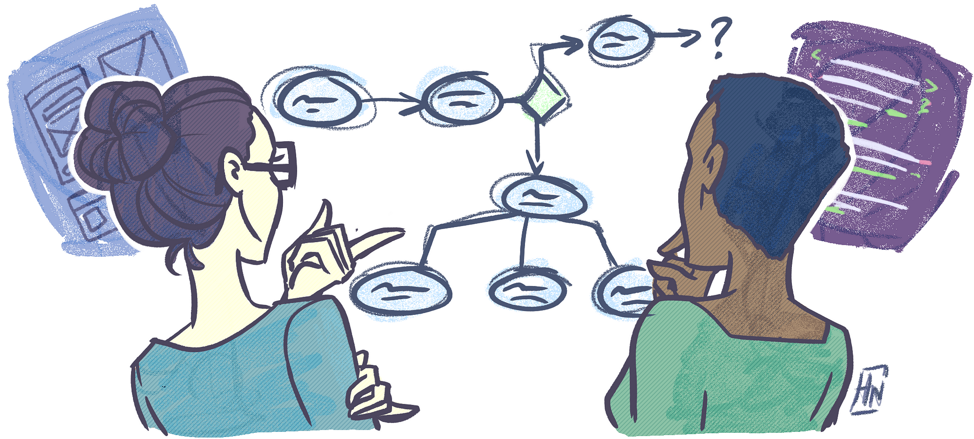
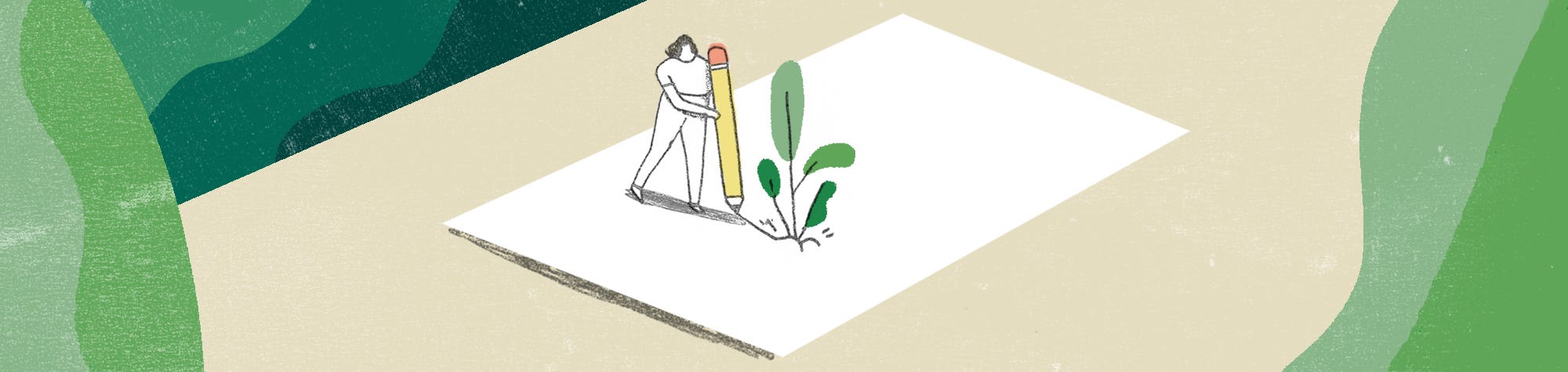
Illustration by Havana Nguyen
As UX Designers, we put care and critical thought in our projects. Every interaction is planted with a specific purpose for the user. This is why it makes it that much more painful for us when the final developed interface does not align with our original vision.
(more…)